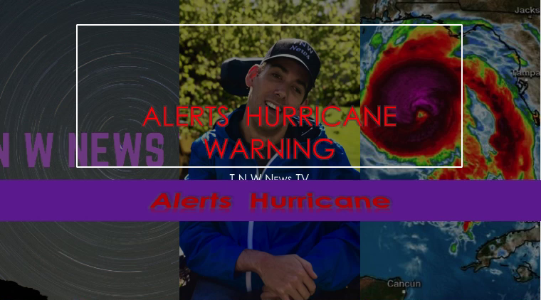
hurricane update from NHC 5 - Hurricane update from T N W News TV
Hurricane update from NHC
.DORIAN VERY NEAR ST. CROIX IN THE U.S. VIRGIN ISLANDS...
...FORECAST TO BECOME A HURRICANE SOON...
A Hurricane Warning is in effect for Vieques and Culebra, and the U.S. and British Virgin Islands. A Hurricane Watch and Tropical Storm Warning is in effect for Puerto Rico. A Tropical Storm Watch is in effect for the Dominican Republic from Isla Saona to Samana.
Tropical Storm Dorian is centered as of 11 a.\m. AST/EDt about 25 miles (40 km) southeast of St. Croix. It's moving toward the northwest near 13 mph (20 km/h), and this motion is expected to continue for the next day or two. On this track,
Dorian should move near the U.S. and British Virgin Islands and then continue over the open Atlantic well east of the southeastern Bahamas.
Maximum sustained winds have increased to near 70 mph (110 km/h) with higher gusts. Tropical-storm-force winds extend outward up to 80 miles (130 km) primarily to the east of the center. Dorian is forecast to become a hurricane later today and continue strengthening during the next few days over the Atlantic waters.
Hurricane conditions are expected over Vieques, Culebra, and the U.S. and British Virgin Islands today. Tropical storm conditions are expected in Puerto Rico this afternoon and tonight. Tropical storm conditions are still possible in portions of the Dominican Republic tonight and Thursday but are becoming less likely to occur. Wind speeds atop and on the windward sides of hills and mountains are often up to 30 percent stronger than the near-surface winds indicated in this advisory, and in some elevated locations could be even greater.
Dorian is expected to produce the following rainfall accumulations:
Northern Leeward Islands...1 to 3 inches.
Eastern Puerto Rico, the Virgin Islands, and the northwest
Bahamas...4 to 6 inches, isolated 10 inches
Western Puerto Rico and the central Bahamas...2 to 4 inches
Coastal sections of the Southeast United States...4 to 8 inches, isolated 10 inches.
This rainfall may cause life-threatening flash floods.
The next complete advisory will be issued by NHC at 5 p.m. AST/EDT with an intermediate advisory at 2 p.m. AST/EDT - www.hurricanes.gov
Hurricane update from T N W News TV


